|
|
||
|
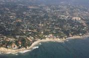
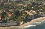
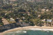
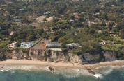
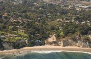
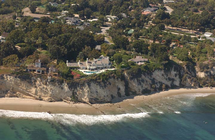
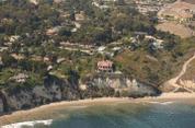
N34 00.65 W118 47.24 Image 3850 Mon Sep 23 13:30:47 2002 | ||
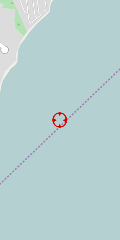
| OpenStreetMaps TopoZone | Streisand Estate, Malibu | ||
| Google Satellite MapQuest | Copyright © 2002 Kenneth & Gabrielle Adelman. All rights reserved. | ||
|
|
|||
|
|
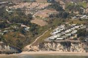
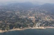
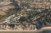
California Coastal Records Project |
|
|
|
|