
|
|
||
|
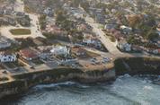
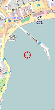
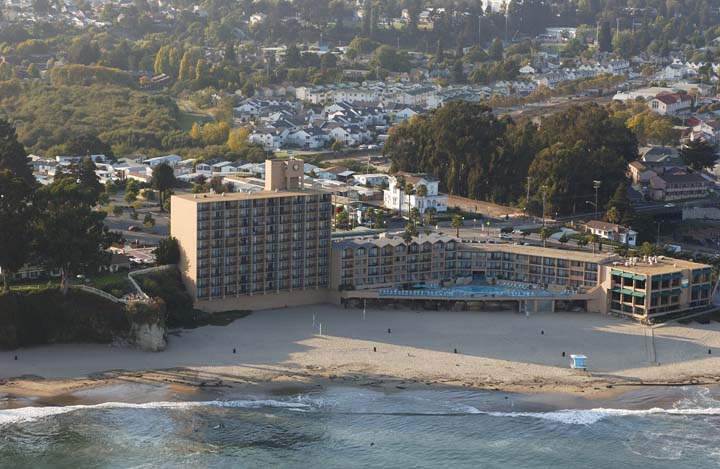
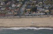
N36 57.48 W122 01.28 Image 6604 Mon Sep 30 16:28:34 2002 | ||
| OpenStreetMaps TopoZone | Formerly The Dream Inn, Santa Cruz | ||
| Google Satellite MapQuest | Copyright © 2002 Kenneth & Gabrielle Adelman. All rights reserved. | ||
|
|
|||
|
|
California Coastal Records Project |
|
|
|
|